Contact us for more information
Good security requires expertise. Bavak has been providing the best security worldwide for more than 50 years. If you also want to know how, please contact us.
June 29, 2021
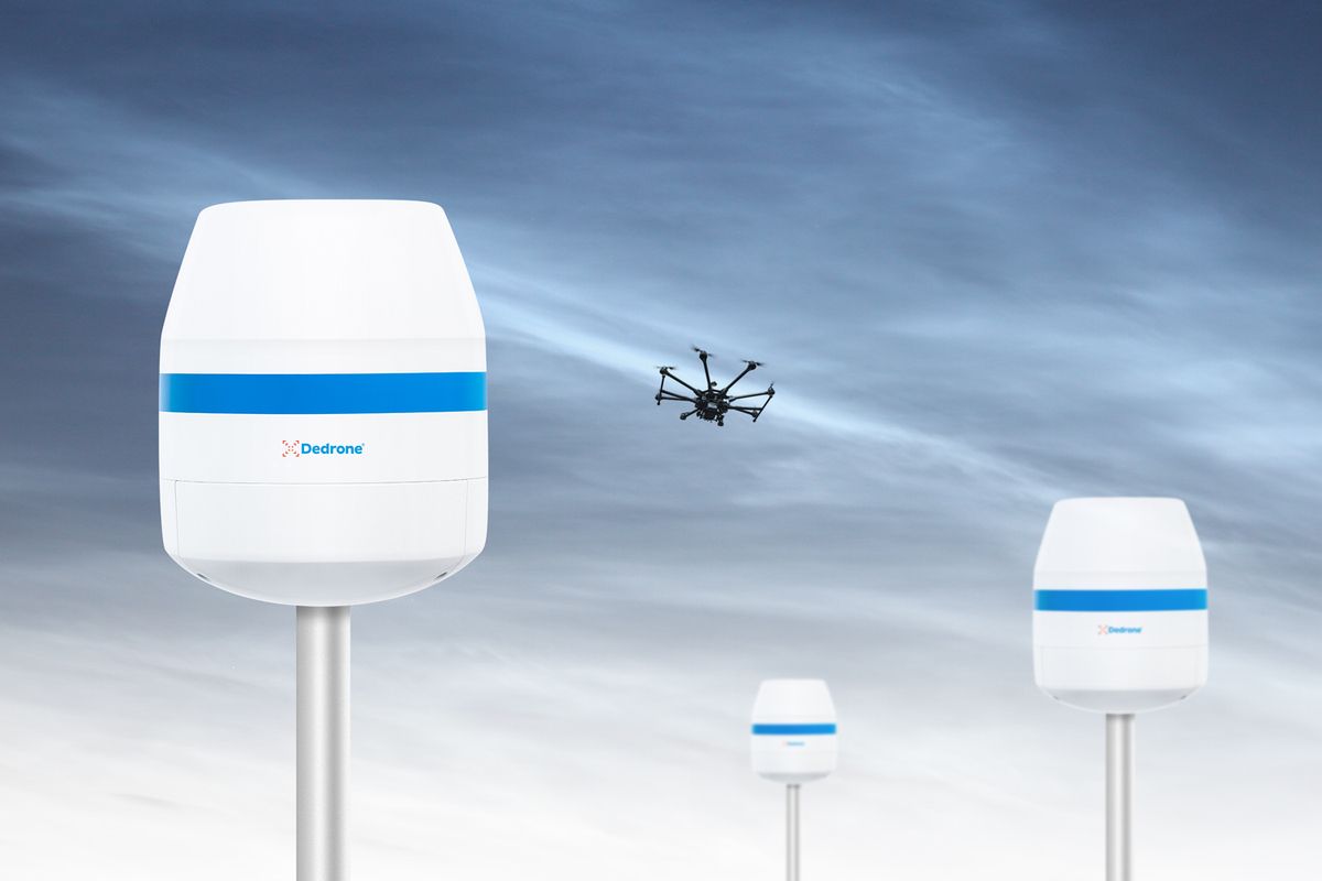
When an unauthorised drone enters your airspace, response time is important. DroneTracker automatically analyses data from sensor inputs to detect, classify and locate drones.
Recently, the software offered an easy-to-use location-information with Google Maps. This provides a higher resolution, deeper zoom, improved display of sensor location and performance improvements such as fast loading.
Version 4.5 intelligently detects, classifies and locates drones by combining data from smart sensors. In addition, version 4.5 provides new details regarding the targeted drones. DroneTracker 4.5 goes beyond the existing 3D location capabilities and adds ‘range in time’ – the duration and distance until the target reaches a critical point.
With version 4.5, DroneDNA is now able to identify almost 250 individual types of drones, from more than 60 different manufacturers.
Version 4.5 shows all remote ID information provided by a drone, including the exact 3D drone position, speed and direction, pilot registration number and location, drone serial number and flight status.
For more information please contact us via info@bavak.com of check our website Bavak Drone Detection.
Good security requires expertise. Bavak has been providing the best security worldwide for more than 50 years. If you also want to know how, please contact us.